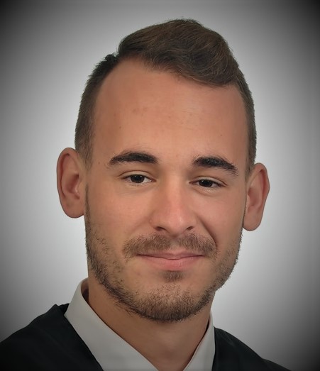
A brief summary…
Aitor Àvila graduated in Geography and Spatial Planning in 2017 from the Universitat Rovira i Virgili. During his degree, he was particularly interested in Geographic Information Systems (GIS). He decided to specialize in this field through a master’s degree in GIS and Remote Sensing from the Universitat Autónoma de Barcelona (2017-2018). In 2022, he received a PhD from the Doctoral Program of City, Territory and Sustainable Planning (URV), and he maintains a contractual relationship as a postdoctoral researcher with the URV.
The thesis was related to the research line that addresses the territorial studies, landscape and Cultural Ecosystem Services (CES) through Volunteered Geographic Information (VGI) and with GIS as the main tool. He is also part of the Territorial Analysis and Tourism Studies Research Group (GRATET) and he has participated as a member of the work team in the research project called “El paisaje como valor colectivo. Análisis de su significado, usos y percepción social: CHORA” (ref. CSO2017-82411-P) of the Department of Geography of the URV. Currently he participates as a member in another project financed by the Spanish Ministry of Science and Innovation called “Servicios ecosistémicos culturales, salud y bienestar en zonas urbanas y periurbanas con clústeres petroquímicos: RESTAURA” (ref. PID2020-114363GB-I00).
Un breve resumen (ESP)…
Aitor Àvila se graduó en Geografía y Ordenación del Territorio en 2017 por la Universitat Rovira i Virgili. Durante el Grado mostró un especial interés por los Sistemas de Información Geográfica y decidió especializarse en este campo a través de un máster en SIG y Teledetección por la Universidad Autónoma de Barcelona (2017-2018). En 2022 se ha doctorado a través del Programa de Doctorado en Ciudad, Territorio y Planificación Sostenible (URV) y mantiene una relación contractual de investigador postdoctoral con la URV.
Su tesis estaba relacionada con la línea de investigación que aborda el estudio del territorio, el paisaje y los Servicios Ecosistémicos Culturales (SEC) mediante Información Geográfica Voluntaria (IGV) y considerando los SIG como principal herramienta. También forma parte del Grupo de Investigación de Análisis Territorial y Estudios Turísticos (GRATET) y ha participado como miembro del equipo de trabajo en el proyecto de investigación llamado “El paisaje como valor colectivo. Análisis de su significado, usos y percepción social: CHORA” (ref. CSO2017-82411-P) del Departamento de Geografía de la URV. Actualmente, participa como miembro en otro proyecto, financiado por el Ministerio de Ciencia e Innovación, llamado “Servicios ecosistémicos culturales, salud y bienestar en zonas urbanas y periurbanas con clústeres petroquímicos: RESTAURA” (ref. PID2020-114363GB-I00).

